
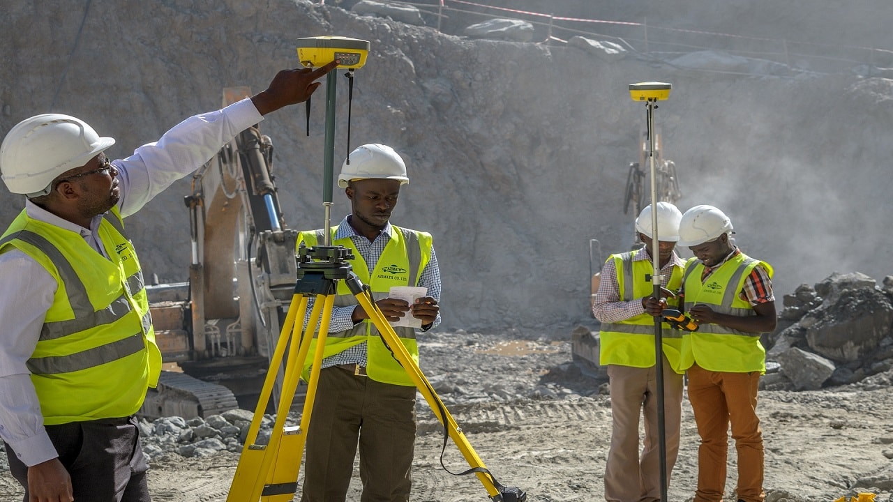
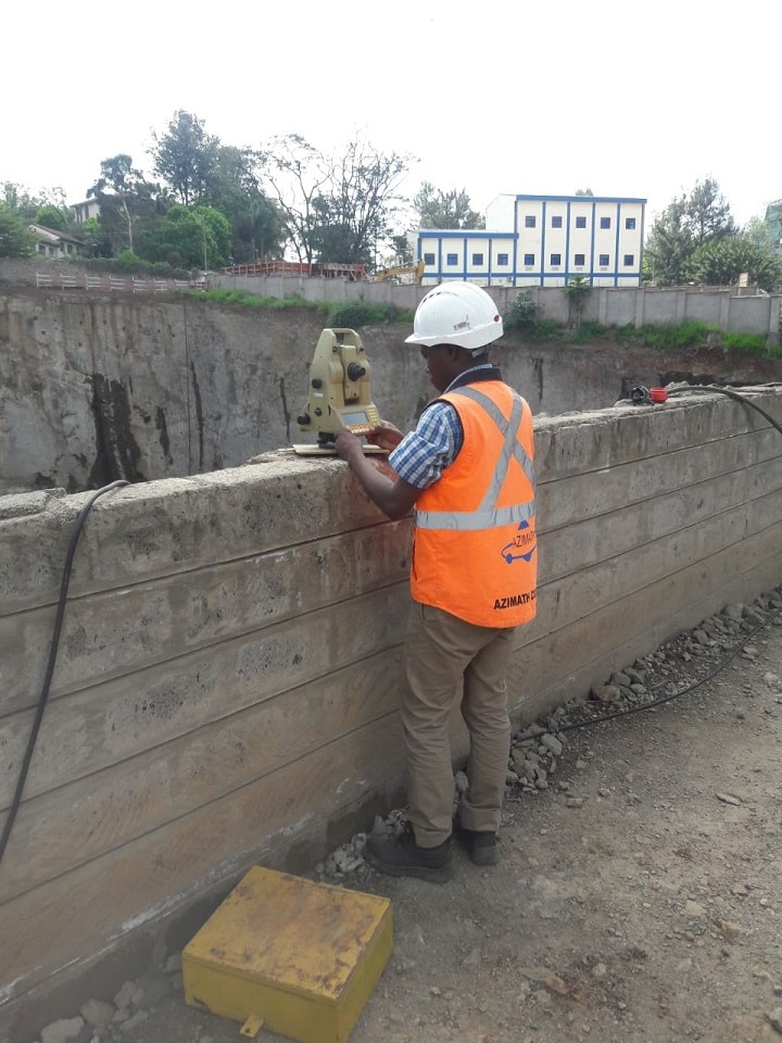
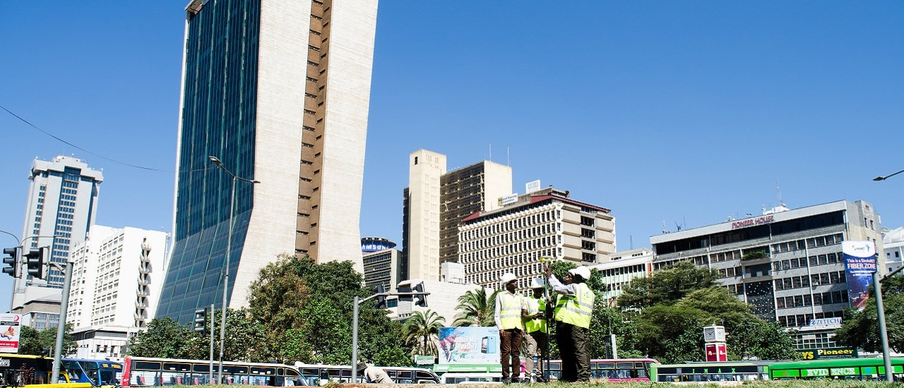
GIS & SURVEY - PROJECTS DONE
KCAA - Digital Aerial Mapping and Processing of Digital Terrain Data for Eldoret and
Kisumu International Airports. 2017 - 2018
KPLC - Provision of GIS data collection services for mapping all Regular and GPOBA Meters. 2016 - 2017
SARIT CENTRE - Deformation monitoring and topo survey Sarit centre. 2017
CANADA EMBASSY - Topo survey and boundary verification. 2017
FRENCH EMBASSY - Topo survey and boundary verification. 2017
TURKANA COUNTY GOVERNMENT - Turkana county cadastral survey-subdivision. 2017
CMC RAVENNA - Digital Aerial Photography and Topographical mapping of Itare Dam and Pipeline Project. 2016
CMC RAVENNA - Digital Aerial Photography and Topographical mapping of Proposed Arror Multipurpose Dam and Kimwarer Dam projects. 2016
JICA - Nairobi Viaduct Road Preliminary Survey Project. 2016
COUNTY GOVERNMENT OF BUNGOMA - Digital Aerial Photography and Urban Planning of Sirisia, Chwele,
Lwakhakha, Tongaren, Bumula, Brigadier and Cheptais towns in Bungoma County. 2015
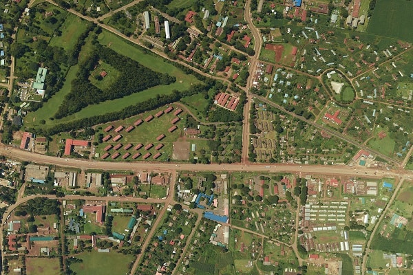
SIMUPLAN (University of Eldoret) - Digital Aerial Photography and Topographic survey of University of Eldoret. 2015
KPLC - Provision of GIS data collection services for mapping all LV and MV line network. 2015
VERMART CONSULTANCY - Digital Aerial Photography and Topographical Mapping of Moi North Road (Naivasha) approx 90sqkms. 2013
US EMBASSY - Re-establishment of NEC Western Boundary. 2013
KENYA REDCROSS SOCIETY Planning, land Survey and Investment projection for Mulanjo Farm. 2013
VIHIGA COUNTY GOVERNMENT - Consultancy Services for Digital Topographical Mapping and The Preperation of Regional and Intergrated Strategic Urban Development Plans for Urban areas in Vihiga County. 2012
MACHAKOS COUNTY GOVERNMENT Consultancy Services for Digital Topographical Mapping and The Preperation of Regional and Intergrated Strategic Urban Development Plans for Urban areas in Masaku County. 2012
LOCAL GOVERNMENT - Digital Aerial Photography and Topographical Mapping of Busia Municipal council. 2012
VERMART ENGINEERING CONSULTANTS (KeRRA) - Digital Aerial Mapping of Mathatani – Kaseve – Kaloleni road (D527) 2012
RURAL ELECTRIFICATION AUTHORITY - Survey of Powerline wayleaves. 2007 - Present

