

OUR OTHER SERVICES
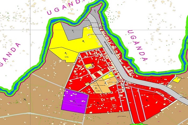
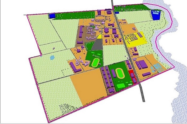
We develop complete/partial GIS software solutions using either proprietor or open source platforms to meet client requirements. Our team of application developers for our customers. Examples Are Revenue Management Solutions, Web Based Asset Management Solutions, Location Based Services and Mobile Applications.
Our major customers are Engineering Firms, Utility providers, Municipalities, Government ministries/ parastatals, Surveyors, Planners, Environmentalists, international agencies and organizations. We also provide services to individuals at an affordable price.
WHY CHOOSE US?
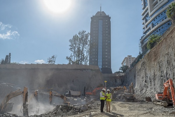
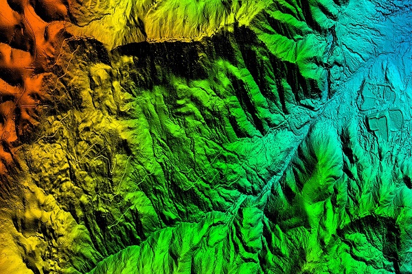
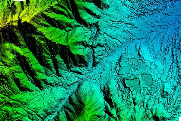
Azimath is a Leading Consultancy in the fields of Geomatics, Digital Aerial Photography and LiDAR Mapping, Geographic Information Systems, Geodetic GPS control surveys, Topographical surveys, Cadastral surveys, High Defnition Surveying, Asset Mapping and in-house software development and systems integration.