AZIMATH MAJOR PROJECTS

Our professional team of surveyors handling the Projects in various areas.

1.) Digital Aerial Photography & Topographical mapping of Proposed Multipurpose Dam - 2018

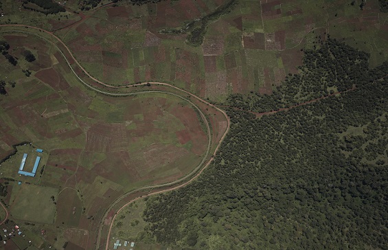
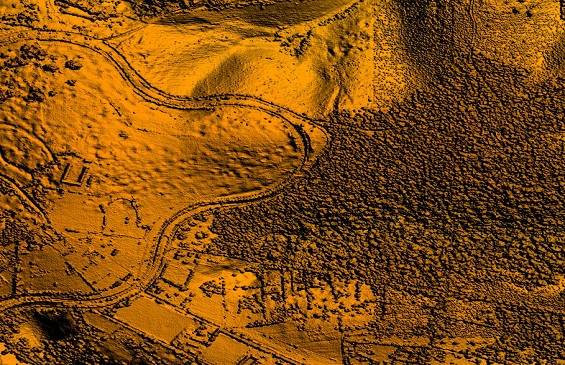
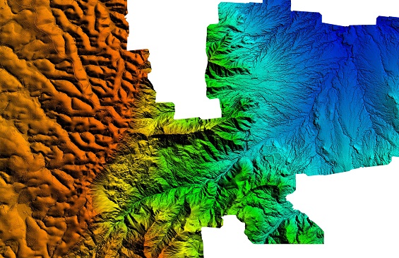
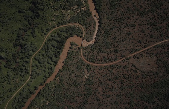
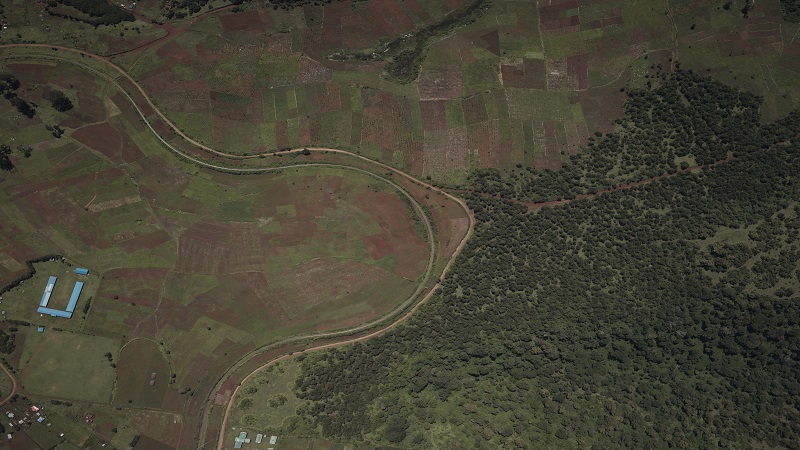
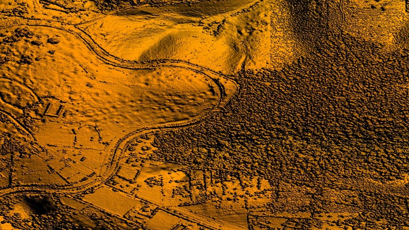
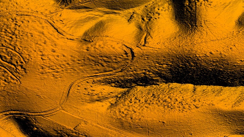
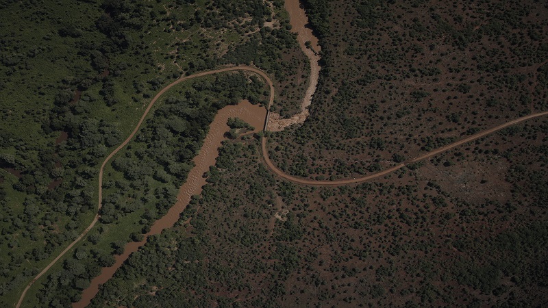
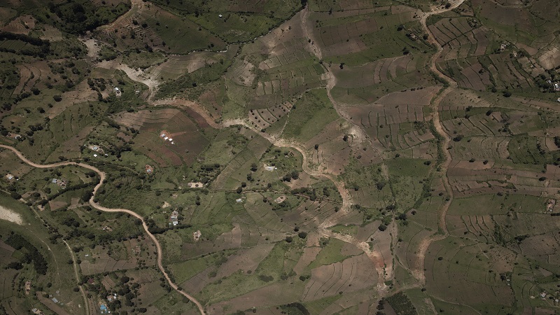
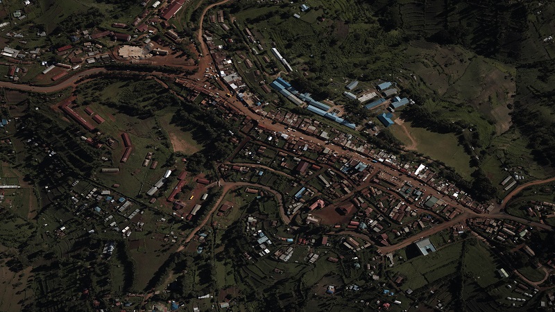
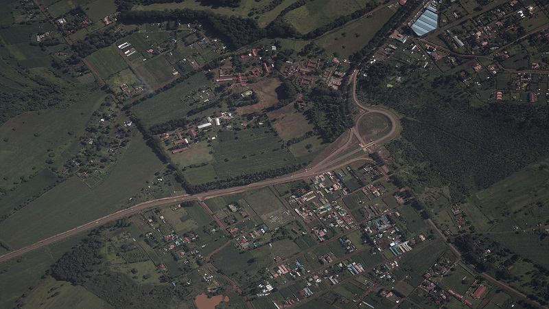
This Multipurpose Dam was a proposed dam that was meant to impound water and to supply water to approximaely 30,000 people, power two hydro-electric power stations and for irrigation to an area of agricultural interest. We were contracted by The Client to establish ground controls at locations recommended by contractor, conduct airborne LiDAR survey of the area, acquire digital aerial photography and perform detailed topographic survey of the areas specified. All the tasks were carried out and deliverables delivered within the specifications of the project.

Aerial Image
DTM & DSM
Client
..........

2.) Digital Aerial Photography and Topographical mapping of another Proposed Multipurpose Dam - 2018

This Dam project is a proposed dam for construction that is meant to supply water to people living around the dam, generate hydropower and for irrigation to the area of agricultural interest. We were contracted by Our client to establish ground controls at the area of interest, conduct airborne LiDAR survey of the area and to acquire digital aerial photography. All the tasks were carried out and all outputs delivered on time.

Aerial Image
DTM & DSM
Client
.........

3.) Digital Aerial Photography and Topographic Mapping of Trans Nzoia County.

This is a project undertaken most recently by the company that involved acquiring aerial photography for the entire county, digital terrain model and topographic mapping of specified centers. The purpose for all this exercise was for the development of county spatial plan.

Aerial Image
DTM & DSM
Client
County Government of Trans Nzoia