AZIMATH MAJOR PROJECTS

Our professional team of surveyors handling the Projects in various areas.

4.) Digital Aerial Mapping and Processing of Digital Terrain Data for Kisumu International Airport. 2017 – 2018

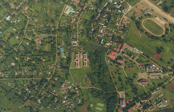
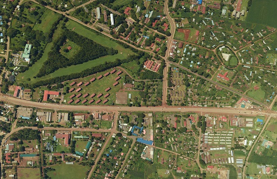
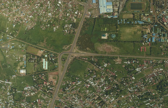
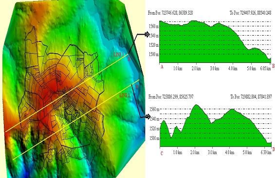
The objective of the project was to acquire Digital Terrain Data for Kisumu International Airport under the International Civil Aviation Organization (ICAO) specifications. The project area covered a 10Km radius from the aerodrome reference point and 45Km radius where terrain is above 4000ft. We were able to deliver all the requirements within the specified time which included: high resolution photography, Digital Terrain Model, Digital Surface Models and a survey report of the controls.

Aerial Image
Processing of Digital Terrain Data
Client
KCAA (Kenya Civil Aviation Authority)

5.) Provision of GIS data collection services for mapping all Regular and GPOBA Meters. 2016 – 2017

Azimath Company Ltd was contracted by KPLC to undertake for them a pilot study of a new application to be used to gather pending and missing meters from their FDB system. After the pilot study was deemed successful it was tasked with the task of collecting the GPS position of all missing Regular and GPOBA meters from all over the country.

GIS data collection
Mapping all Regular and GPOBA Meters
Client
KPLC (Kenya Power & Lighting Company)

6.) Digital Aerial Photography and Topographic Mapping of Bungoma County.

This is a project undertaken most recently by the company that involved acquiring aerial photography for the entire county, digital terrain model and topographic mapping of specified centers. The purpose for all this exercise was for the development of county spatial plan.

Aerial Image
DTM & DSM
Client
County Government of Bungoma.