
OUR SERVICES
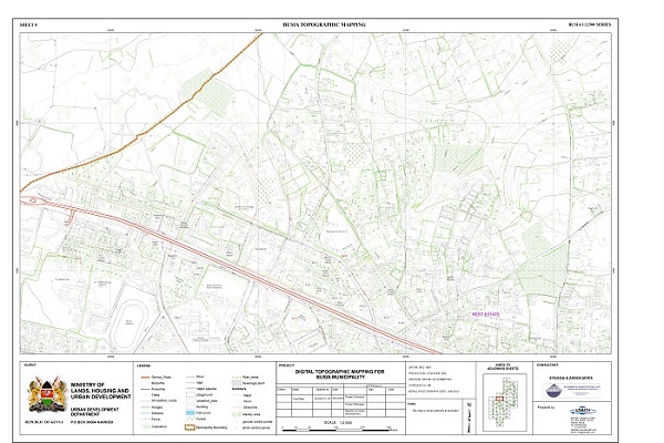
TOPOGRAPHIC MAPPING
We have invested in enough computers and software to enable fast and accurate vectorization
of data for computerized mapping and advanced GIS analysis.These maps are widely used in engineering
design and urban planning. Our data sources are majorly orthophotos for large projects & coordinate
files from total station and Geodetic GPS for small projects.
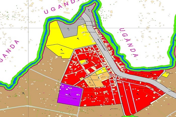
GIS AND LAND USE MAPPING
Azimath company ltd has in the past collaborated with several planners
in the country and outside Kenya to develop master plans and integrated ISUDPs.
Azimath company ltd has softwares and experts who can deliver models of towns
and other places on the earths surface.
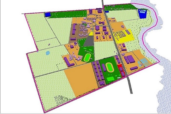
3D CITY MODELING
The demand for 3D city models has been on the rise in the recent past.
By intergrating LiDAR generated DSMs and our multidirectional imagery,
we are able to render 3D city model with multiple views
This is useful in city planning, virtual cities and many other commercial applications
It's components are described and represented by corresponding 2D and
3D spatial data and geo-referenced data.
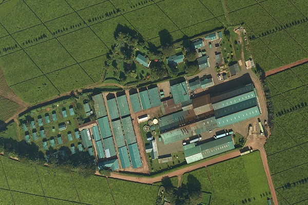
AERIAL PHOTOGRAPHY
Our 80 M-pixel medium format camera system with integrated GPS/IMU and light
management system is able to acquire high resolution image with GSD ranging from 5cm to 10cm.
This is mounted on our double engine aircraft with a maximum ceiling of 14000 feet (ASL).
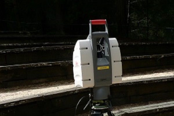
GEODATIC & ENGINEERING SURVEY
In areas where aerial photography/LiDAR is not feasible, our team use the latest Geodetic,
Kinematic GPS equipment, Robotic Total Stations and Automatic Levels to carry out Engineering surveys.
Some of the services are; route profiling, setting out, topographical mapping, control establishment, deformation monitoring e.t.c.
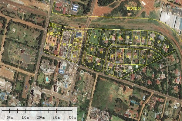
CADASTRAL SURVEY
Is the sub-field of surveying that specializes in establishment
and re-establishment of real property bounderies.
It is an important component of the legal creation of properties.
surveyor must apply both the spatial-measurement principles of general surveying
and legal principles such as respect of neighboring titles
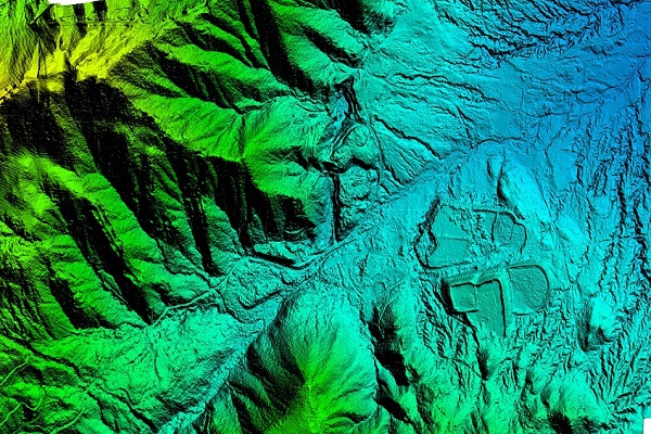
LiDAR MAPPING
LiDAR Survey facilitates acquisition of data of thousand points over the Earth’s surface
within a fraction of a second accurately. LiDAR means Light Detection And Ranging.
This technology can find range and other information about a particular distant object
by means of measuring the properties of scattered light. Useful in generating accurate
Digital Terrain Models in engineering design and planning.

SYSTEM DEVELOPMENT
It's a process of planning, creating, testing, and deploying an information system.
Development of Kilimokona application for various purposes from Farming, Survey and Information Technology.
The system entails the intergration of Mobile Application. Kilimokona.